Earth Science
Advertisement
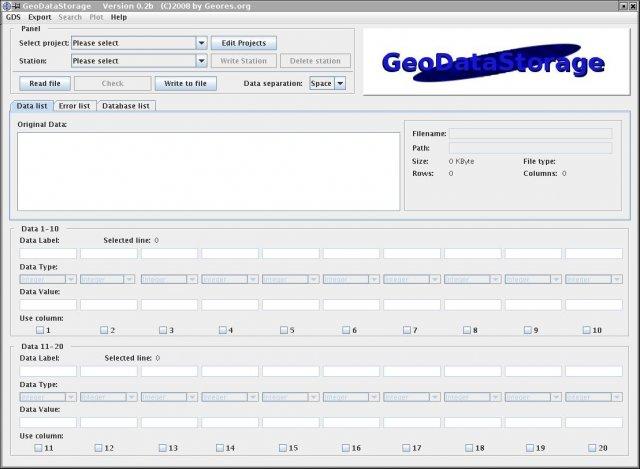
World Wind Web Service Catalogs v.1.0
Provides easy access to geospatial imagery via web service catalogs. World Wind Web Service Catalogs offer you access to geospatial imagery with the aid of web service catalogs. NASAs Earth Science Gateway catalog,
Advertisement
GeoMapApp v.3.1.6
GeoMapApp is an earth science exploration and visualization software that is continually being expanded as part of the Marine Geoscience Data System (MGDS) at the Lamont-Doherty Earth Observatory of Columbia University.
NASA Image2000 v.1 1
The purpose of NASA Image2000 is to provide a host-independent image processing system for students and educators using tutorials. The core plug-in architecture allows the system to be expanded to accommodate other segments of the imaging community.

Earthy Realism v.1.0.0.0
GAIA, named after the ancient Greek mother-goddess, is the notion that the Earth and the life on it form an active, self-maintaining whole. By its use of personification it attacks the view that the physical world is inert and lifeless.

First Grade v.1.0.0.0
Smart Kids: First Grade is a one-stop-app for a first grader to learn Math, English, Science and Social. It is developed with the concept of providing high quality education. The app is designed in a kid-friendly manner with easy to navigate screens.
MultiSpec v.2007.12.20
MultiSpec is a processing system for interactively analyzing Earth observational multispectral image data such as that produced by the Landsat series of Earth satellites and hyperspectral image data from current and future airborne and spaceborne sys
FreeView v.10 3
Geomatica FreeView is a flexible data viewing tool supporting over 100 raster and vector formats for loading, viewing, selection, and enhancement. FreeView is useful for any geospatial data viewing application, and is freely distributable.
Geomatica FreeView v.9. 1. 2005
Geomatica FreeView is a flexible data viewing tool supporting over 100 raster and vector formats for loading, viewing, selection, and enhancement. FreeView is useful for any geospatial data viewing application, and is freely distributable.
Ecad Plus Windows v.1.8.0.1
eCADPlus is a CAD software package designed for the development of electromechanical schematic drawings.
GeoWell Editor v.2011.1
The GeoWell Editor is a stand-alone editor that simplifies the production of GEO_WELL data files for submission to California's GeoTracker system.